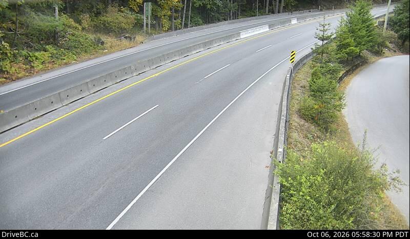
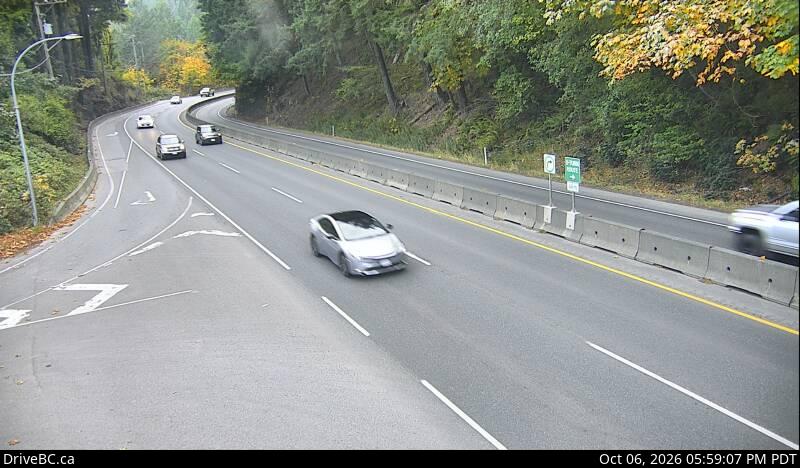
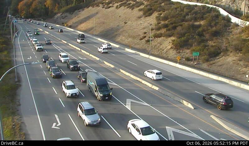
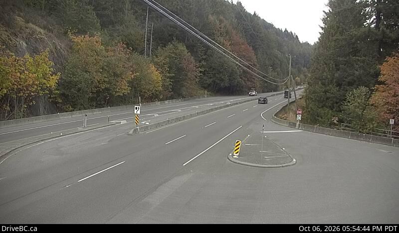
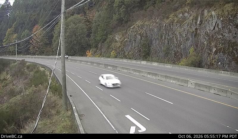
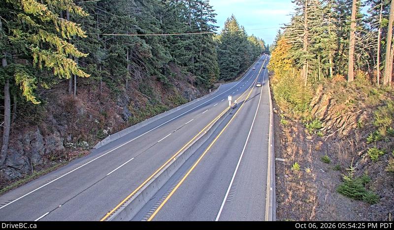
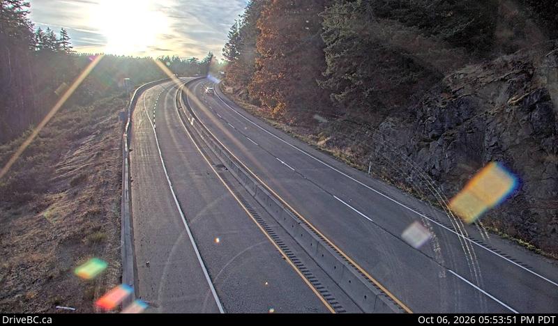
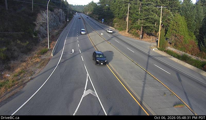
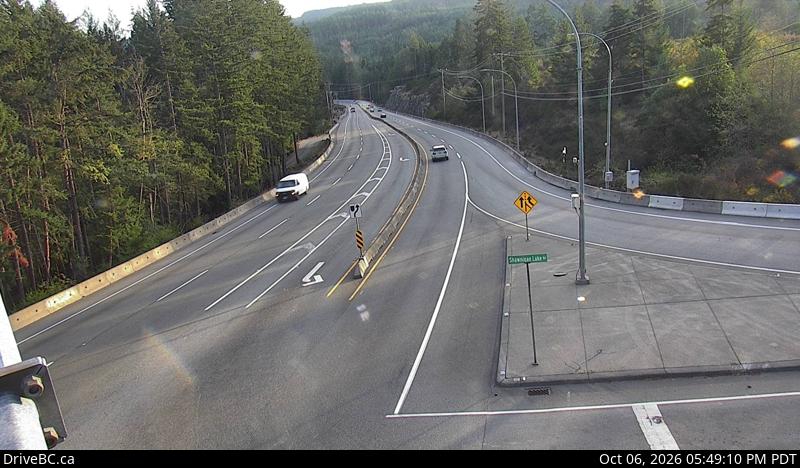
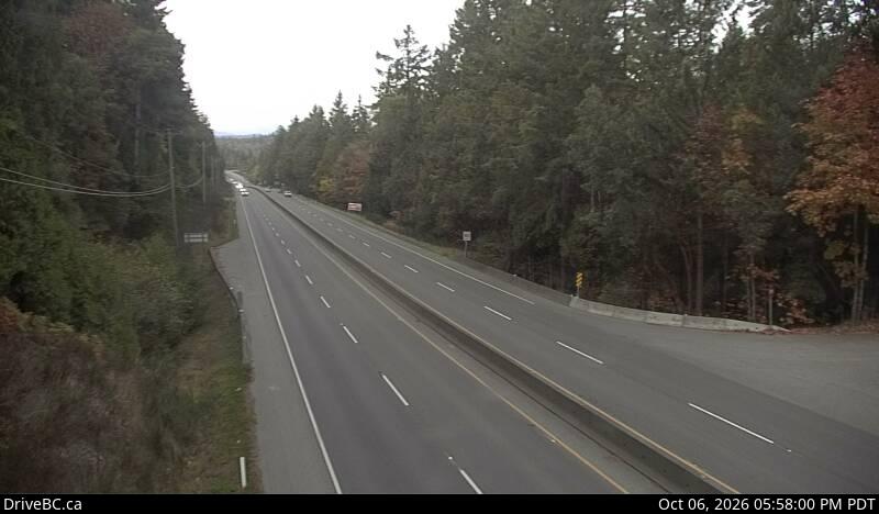
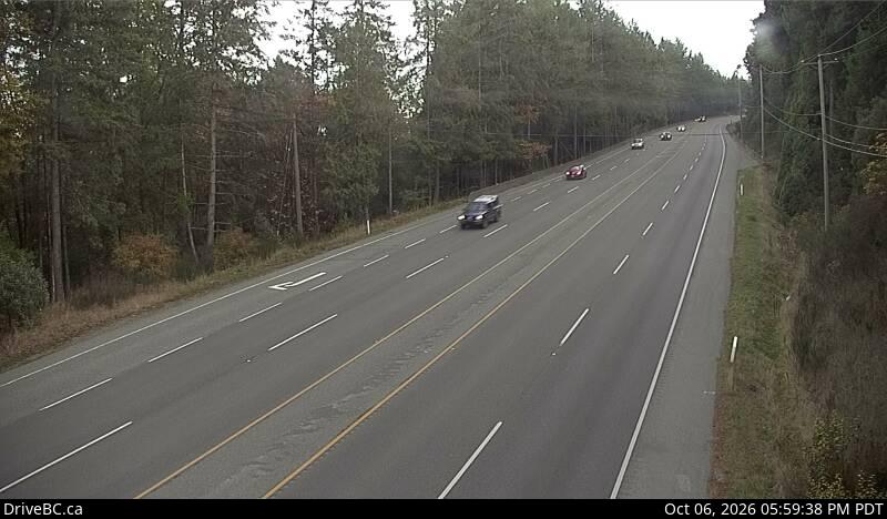
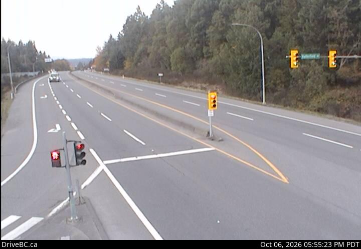
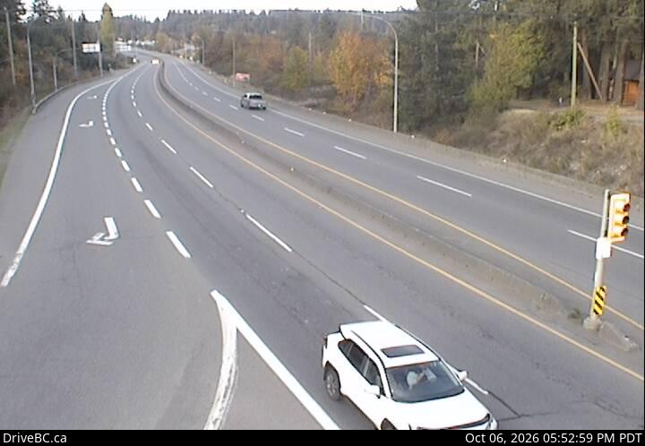
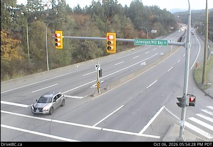
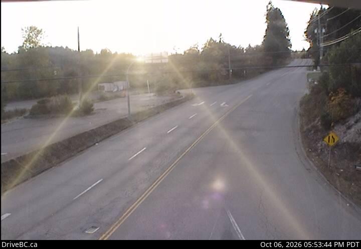
Fines double in a B.C. work zone whether or not crews are visible. Watch for flaggers, don't change lanes inside the cones, and expect the surface to be uneven or gravelled.
Tip matched to current conditions · 4 active work zones
Free, year-round closure alerts — no account, no password, unsubscribe anytime.
Push alerts on this device
Instant notification even when the tab is closed.
Active incidents
🚧Construction: CONSTRUCTION
NB
Utility work from Highway 1, 100m South of Aspen Road to At Malahat Frtg. Starting Wed Sep 30 until Fri Oct 16. From 10:00 PM to 5:00 AM PDT the next day, weekdays. Right lane closed. Last update: September 16th, 2026 at 3:46pm PDT.
Direction: NRIDE-102452
🚧Construction: CONSTRUCTION
NB
Utility work from Highway 1, Mill Bay Rd to Bamberton Rd. Starting Tue Sep 29 until Fri Oct 9. From 9:00 PM to 5:00 AM PDT the next day, every day. Right lane closed. Watch for traffic control. Last update: September 22nd, 2026 at 1:34pm PDT.
Direction: NRIDE-102650
Driver reports
No driver reports yet. Driver reports are supplementary to the official DriveBC feed above.
FAQ
What is Is the Malahat Open?
Is the Malahat Open? is a free, single-purpose site showing live Highway 1 status on the Malahat between Victoria and Duncan, using official DriveBC data refreshed every 5 minutes. It shows open, delayed or closed status for each direction, live webcams, and drive times. Built and maintained by Scott Mitchell in Victoria, BC, as part of the RoadsBC network of BC highway and ferry status tools.
What is the Malahat?
The Malahat is the section of the Trans-Canada Highway (Highway 1) between Victoria and Mill Bay on Vancouver Island. It's the main — and effectively only — road link between Greater Victoria and the rest of the island.
How current is this information?
The status here is refreshed from DriveBC's official Open511 feed every 5 minutes. Official data can lag fast-moving incidents by a few minutes, which is why we also show driver reports below the official status.
What's the alternate route when the Malahat is closed?
There is no practical highway alternative. Options are waiting for it to reopen, taking the Mill Bay ferry from Brentwood Bay (limited sailings), or the very long Pacific Marine Route via Port Renfrew (several hours, gravel sections, not for winter driving).
Is this site free?
Yes, completely. Free to check, free email alerts, no accounts. It runs on top of official DriveBC data.
Where does this data come from?
DriveBC's public Open511 API (api.open511.gov.bc.ca). We filter to events on the Malahat corridor and classify them as open, delayed, or closed.
Why might one direction show differently than the other?
Incidents like single-lane closures, construction, crashes, or rockfalls often only affect one direction of travel. When southbound (toward Victoria) and northbound (toward Duncan/Up-Island) don't match, we split the banner so you see each direction's status independently.
How long does it take to drive the Malahat?
Typically 30–40 minutes each way between Victoria and Duncan under normal conditions, depending on traffic and time of day. This page shows live current drive times above, compared to typical conditions, so you can see whether today's trip is running normal, slower, or significantly delayed.