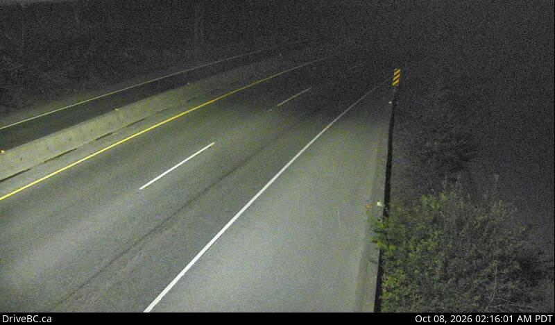
Goldstream Park — North webcam
Highway 1 at Finlayson Arm Road in Goldstream Park, looking north.
View Goldstream Park — North camera →
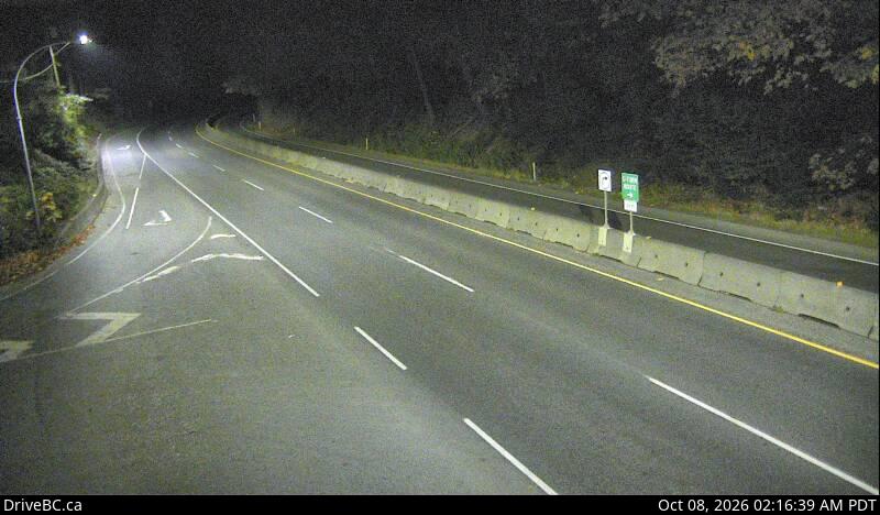
Goldstream Park — South webcam
Highway 1 at Finlayson Arm Road in Goldstream Park, looking south.
View Goldstream Park — South camera →
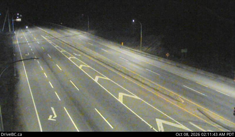
West Shore Parkway — Northbound webcam
Highway 1 at West Shore Parkway, looking north toward Goldstream Park.
View West Shore Parkway — Northbound camera →
Malahat at Tunnel Hill — North webcam
Highway 1 north of Goldstream — Tunnel Hill climb, looking north.
View Malahat at Tunnel Hill — North camera →
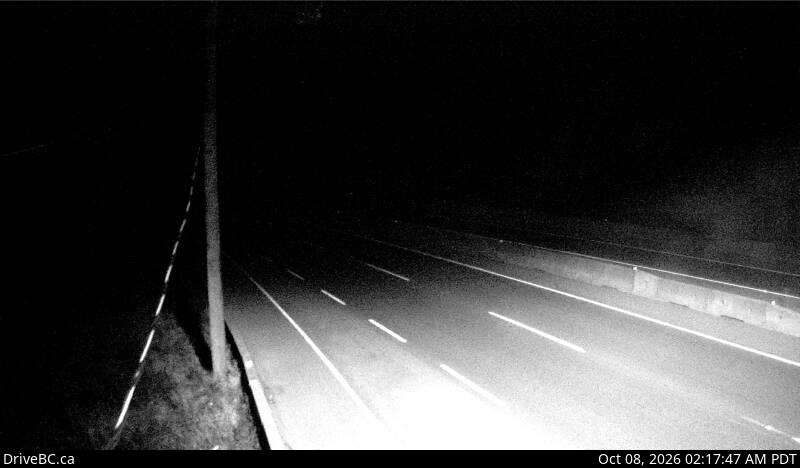
Malahat at Tunnel Hill — South webcam
Highway 1 on Tunnel Hill, looking south toward Goldstream.
View Malahat at Tunnel Hill — South camera →
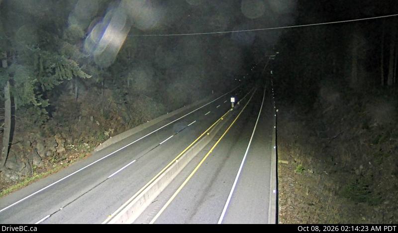
Malahat Summit — North webcam
Highway 1 at the Malahat Summit, looking north — highest point on the corridor, first to show snow.
View Malahat Summit — North camera →
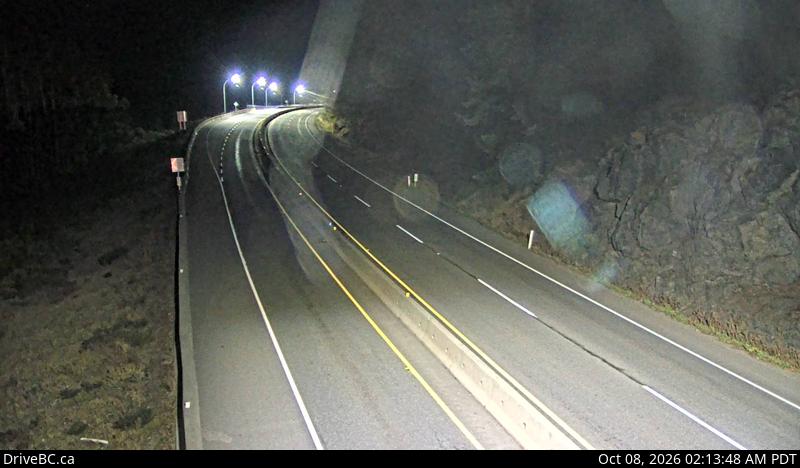
Malahat Summit — South webcam
Highway 1 at the Malahat Summit, looking south toward Goldstream.
View Malahat Summit — South camera →
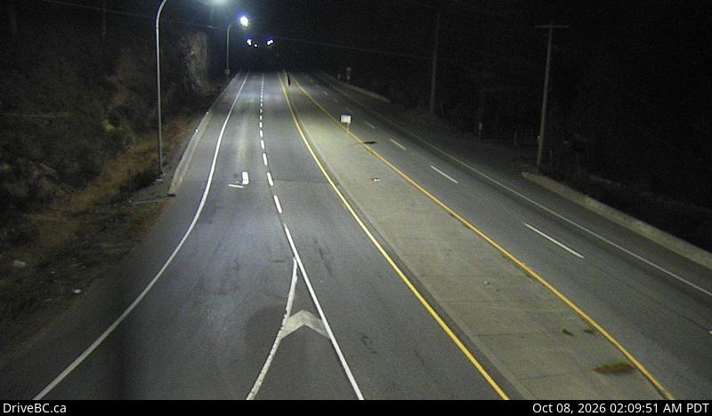
Malahat Drive — North webcam
Highway 1 at South Shawnigan Lake Road, looking north.
View Malahat Drive — North camera →
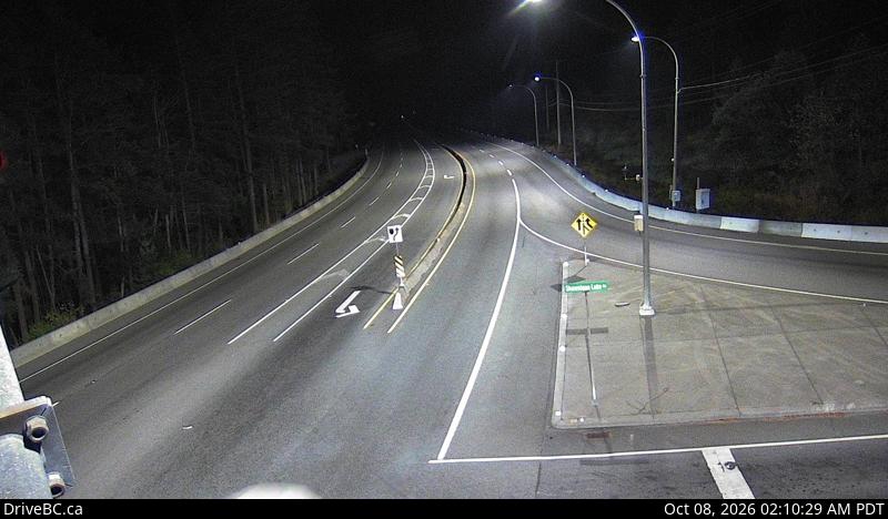
Malahat Drive — South webcam
Highway 1 at South Shawnigan Lake Road, looking south.
View Malahat Drive — South camera →
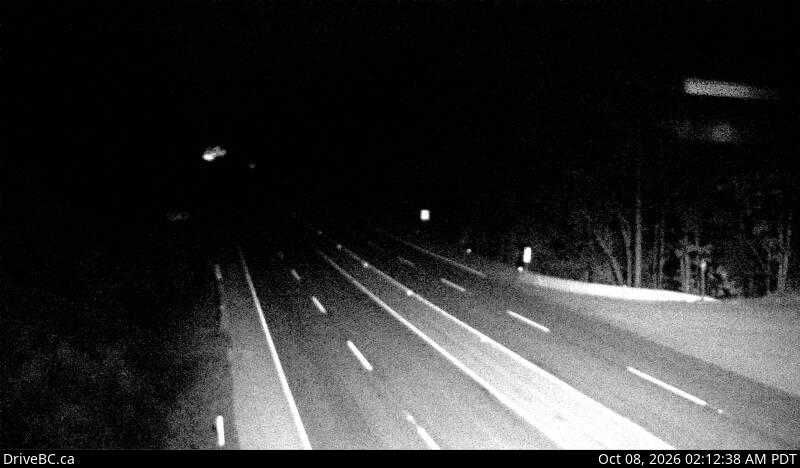
Malahat at Bamberton — North webcam
Highway 1 at Bamberton, looking north toward Mill Bay.
View Malahat at Bamberton — North camera →
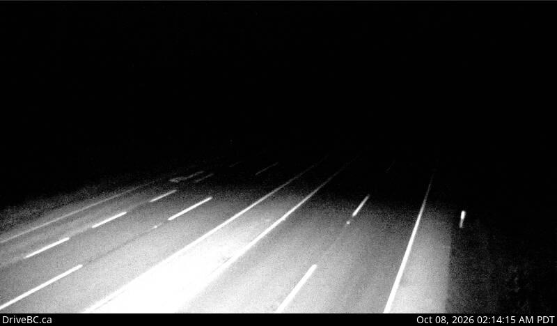
Bamberton — South webcam
Highway 1 at the Bamberton Park entrance, looking south.
View Bamberton — South camera →
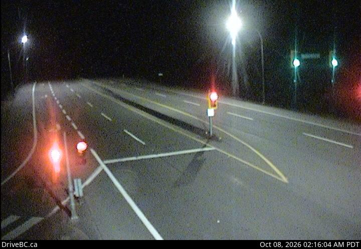
Butterfield Road — North webcam
Highway 1 at Butterfield Road, ~3 km south of Mill Bay, looking north.
View Butterfield Road — North camera →
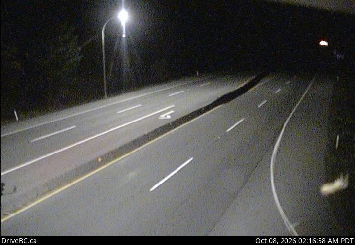
Butterfield Road — South webcam
Highway 1 at Butterfield Road, ~3 km south of Mill Bay, looking south.
View Butterfield Road — South camera →
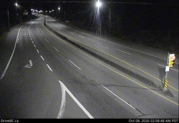
Mill Bay — North webcam
Highway 1 at Shawnigan Mill Bay Road, looking north.
View Mill Bay — North camera →
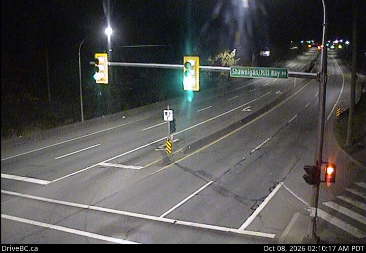
Mill Bay — South webcam
Highway 1 at Shawnigan Mill Bay Road, looking south.
View Mill Bay — South camera →
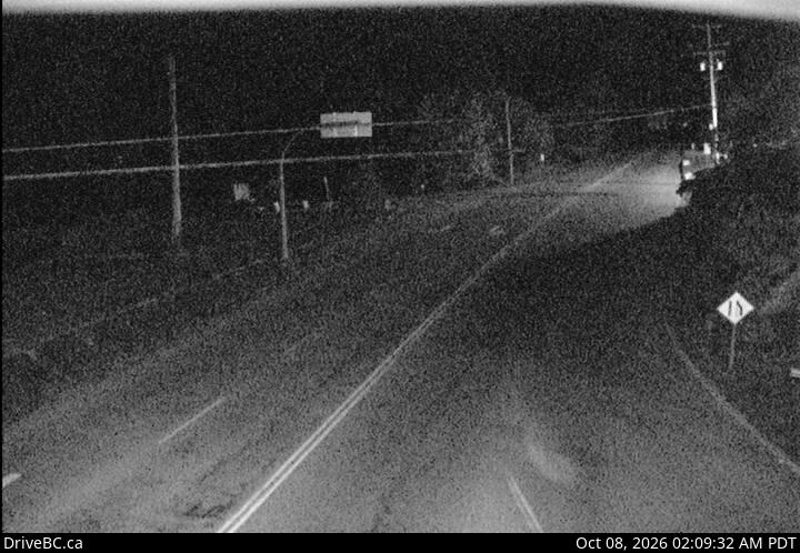
Mill Bay — West webcam
Highway 1 at Shawnigan Mill Bay Road, looking west.
View Mill Bay — West camera →
Webcam images © Province of British Columbia, sourced from DriveBC. This site is not affiliated with DriveBC or the BC Ministry of Transportation and Transit.
Contains information licensed under the Open Government Licence – British Columbia.